|
|
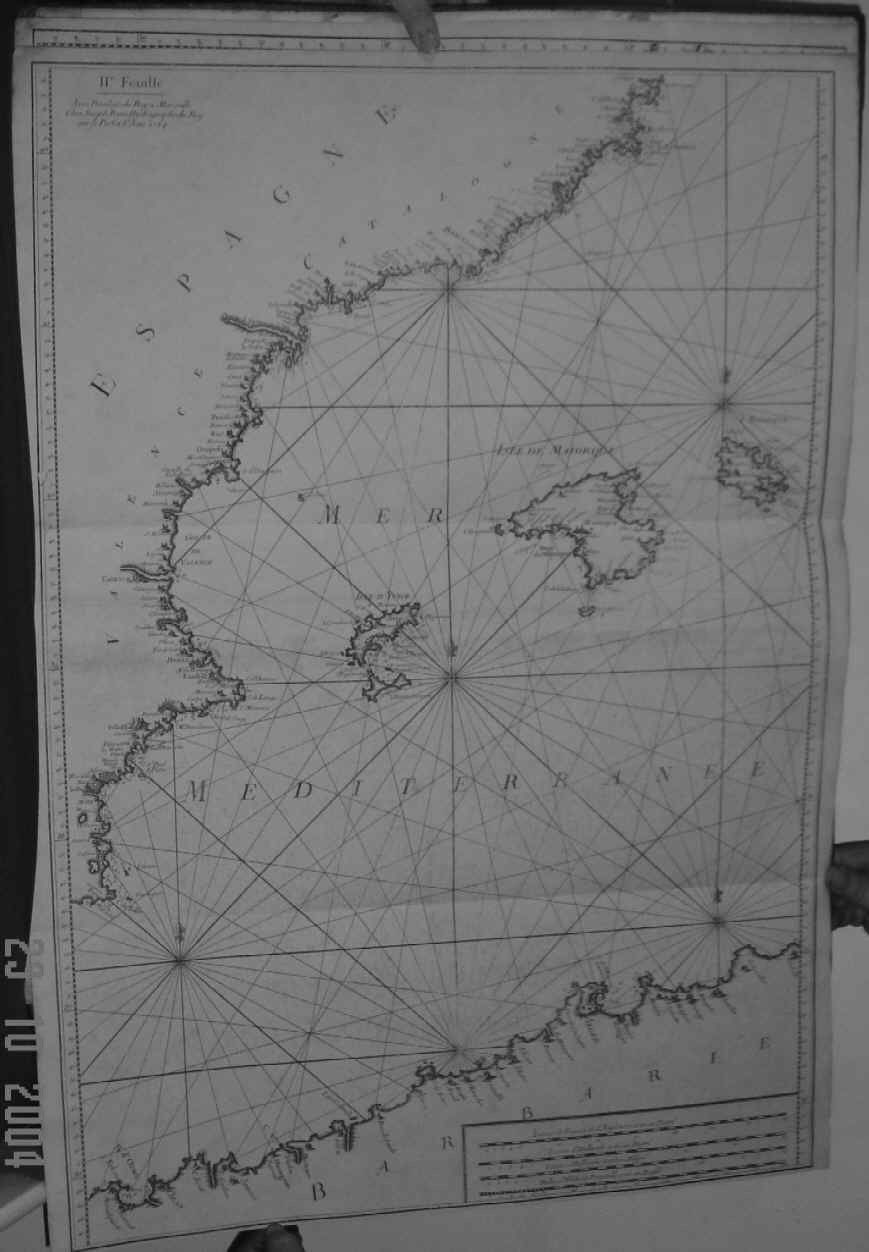
| Plate II. 81 x 55 cms. Chart extends from Alicante and the Gulf of Valence in the west to the Isle of Minorca in the east and from Catalonia and Barcelona in the north to the coast of Algeria in the south. The Balearics are in the centre and in beautiful detail. Two original folds, bottom margin cut close as usual with a small hole at left marginal line at 40.05 degrees, not in map area. Price: CyP 700.00 |