|
|
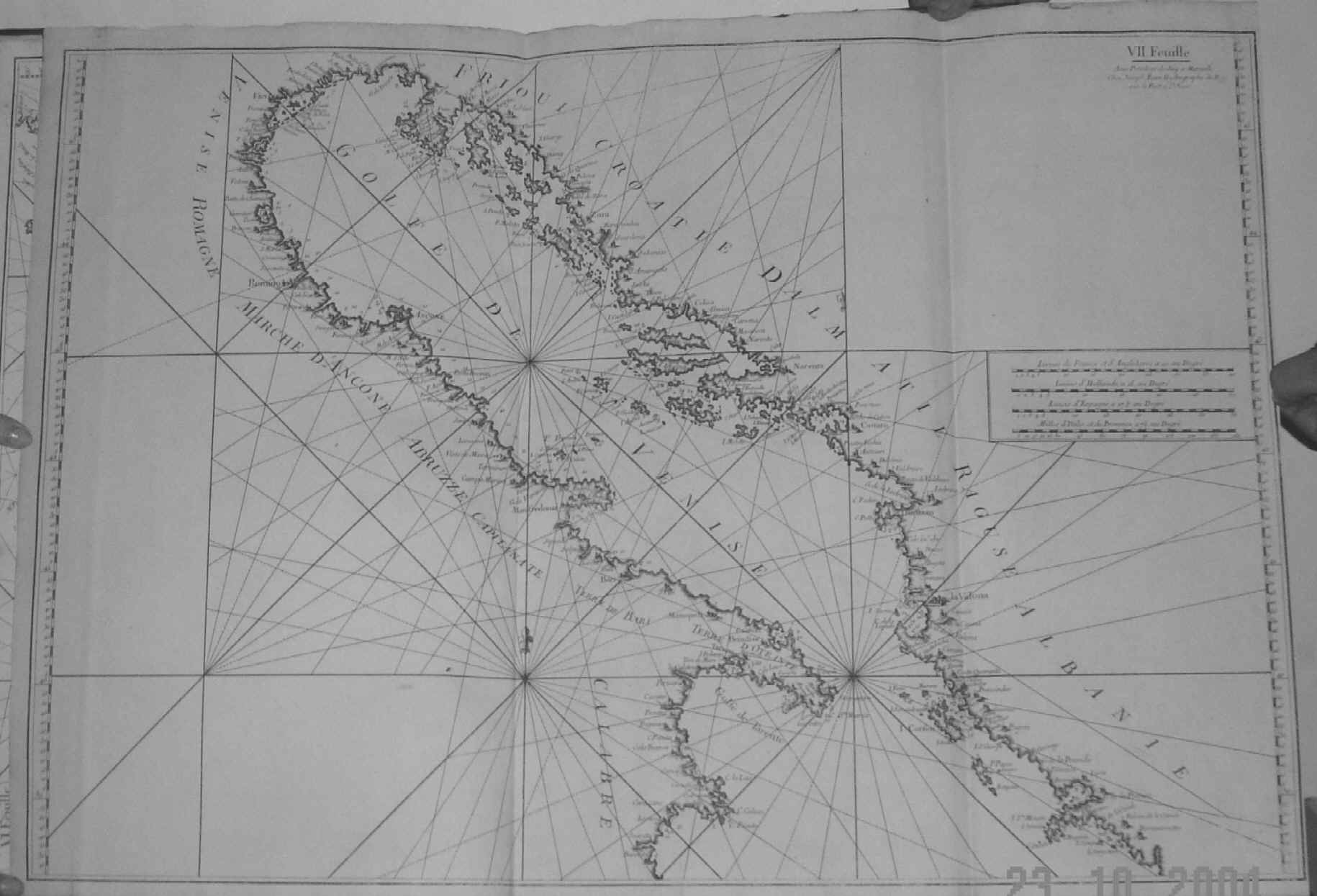
| Plate VII. 80 X 55 cms. This chart is essentially of the Adriatic and north Ionian Seas and coastal areas of east Italy, the Dalmatian and Albanian coastline, and north western Greece with the Gulf of Prevesa and the Isles of Corfu and Paxu in the extreme south east. Two original folds and the right hand margin cut close, as published. Price: CyP: 700.00 |