Books. Kootwijk, Johannes van. Itinerarium Hierosolymitanum. Navigation page.
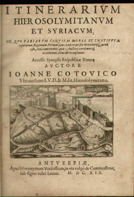
Cotovicus, Johannes. Itinerarium Hierosolymitanum et Syriacum...
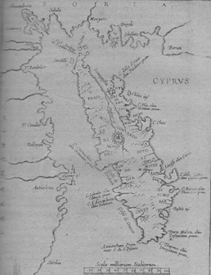
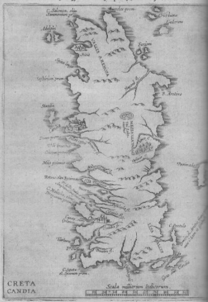
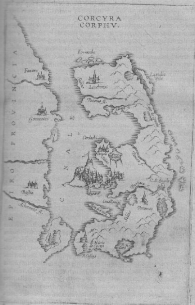
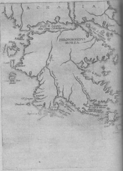
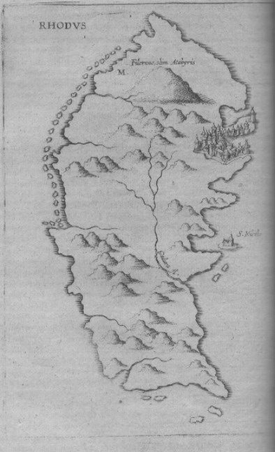
Antwerp. Hieronymum Verdusium. 1619. First Edition. In 4 to. (15) ff., 518 pp., (9) ff. Brown calf with ornate gilt edges. Spine divided into six compartments with title and decorations embossed in gold. Illustrated with five tables, five full page maps ( Corfu, Crete, Morea, Rhodes and Cyprus ) and 52 in- text maps and views/city plans.
|
|
|
|
|
|
|
|
|
In 1598 Cotovicus ( aka Kootwijk, Johannes van ) traveled to Syria and the Holy Land, passing through the most important islands of the Mediterranean Sea. The account of his journey contains a detailed description of the Islands of Crete and Cyprus.
Most of the plates used by Cotovicus were borrowed from Zuallart's earlier journey to the Holy Land in 1586 ( vide here ) but the "vertical" maps of Crete and Cyprus and the "east/west" oriented map of Corfu remind me of maps drawn by the Italian School of cartographers of Mssrs Bonifacio/ Duchetti/ Nelli. However , Camocio's "Cipro" ( from his Isolario of the 1570's ) although with much more detail, must have been the basis for Cotovicus' execution of the map of Cyprus. The two lighthouses at Anemur perfectly match.
Similarly to Zuallart, who dedicates his travels to Philippe de Merode, Cotovicus dedicates his work to Archimandrite Arsenio Schayck at the Monastery of St.Peter in Belgium, who financed his expedition to the Holy Lands.
Ref: Blackmer 416.
Price: CyP 5,500.00