Joseph Roux Atlas. Navigation Page


ROUX, Joseph

Carte de la mer Mediterranée en douze feuilles,
dédiée à Mgr. le duc de Choiseul Colonel General des Suisses et Grisons. Ministre de la Guerre et de la Marine. Par son très humble Serviteur Joseph Roux Hydrographe du Roy

Marseilles: Joseph Roux, 1764. Large folio (23 x 13 inches. ). Engraved and mounted on guards throughout,  12 large engraved folding plates of the Mediterranean Sea, (550 x 796 mm to 560 x 830 mm.). Contemporary Spanish sheep, covers elaborately tooled in blind with decorative rolls and flower spray tools, at the centre of the upper cover a single gilt-tooled pomegranate tool, woven cloth ties (expert repairs to head and foot of spine and corners). Cloth box with leather label. Provenance: early inscription to front pastedown.

A fine copy of this rare set of large scale charts concentrating on the coastal regions of the Mediterranean

Only two copies of this work are listed as having sold at auction in the past thirty years, and OCLC and NUC combined only list six examples. This copy is in particularly fine condition and the binding allied with the use of the pomegranate tool (the pomegranate is the symbol of Granada) both suggest an original owner who was Spanish. However, the use of this set of French charts was known to be widespread - Nelson carried a copy on board HMS Victory as late as 1802-1803 - and the early annotation in English implies that the album was in English hands shortly after its publication.

The maps offer an admirable cartographic record of the Mediterranean from the southern coast of Europe to the northern coast of Africa , and from the Straits of Gibraltar to the coast of Turkey. All the important ports along the coastlines are identified, as are the major islands, including Sicily, Corsica, Crete and Cyprus. This set was produced by Joseph Roux, cartographer to the French king, and it was dedicated to the Duc de Choiseul.
 
This very rare atlas is offered for sale at CyP. 10,000.00. The prices quoted for each individual map are in the case I break it up after Christmas. 


Gibraltar / Oran / Cadiz
 
 
Algeria / Balearic Isles
 
 
Languedoc / Corsica / Elba
 
 
Tyrrhenian Sea
 
 
Minorca / Sardinia / Tunisia
 
 
Sicily / Malta / Libya
The Adriatic / Ionian Seas
 
 
Ionian Sea & Libya
 
 
Crete / Libya
 
 
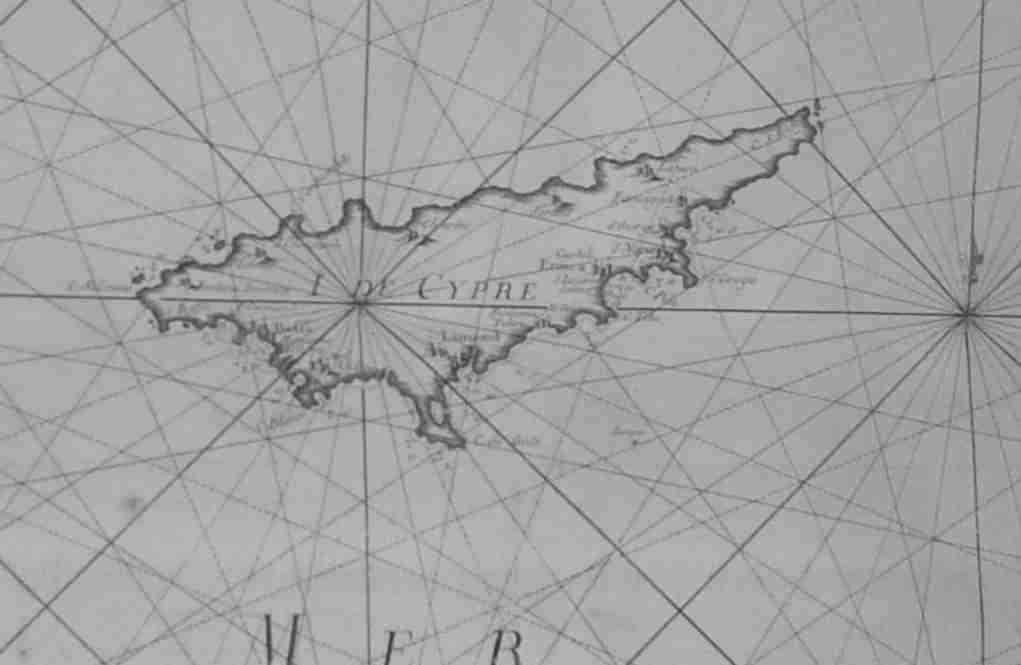
Caramania / Cyprus / Palestine
 
 
South Aegean / Crete
 
 
North Aegean / Dardanelles