

|
|
|
|
|
|
|
|
|
|
|
|
|
|
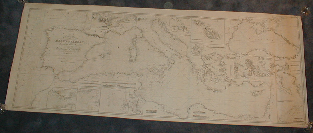
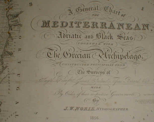
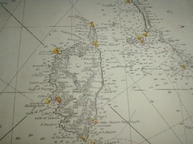
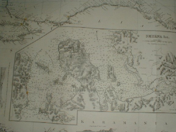
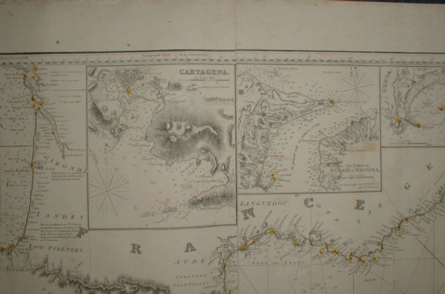
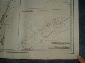
A General Chart of the Mediterranean, Adriatic and Black Seas; together with the Grecian Archipelago; constructed principally from the surveys of Smyth, Beaufort, Graves, Copeland, Tofino, Bernard, &c. Made by order of their respective Governments by J.W. Norie, Hydrographer, 1856. Size: 183x 81 cms !!!!!!!! Complete with soundings with such notations as “Heavy Breakers in blowing weather”, “through the middle of the Straight a constant Current sets to the Eastward”, “a good channel to Zara”, etc. The chart is engraved in black and white, with lighthouses highlighted in red and yellow. |
| The chart is on heavy stock, backed with the original blue paper, and is supple, not brittle. This chart was possibly used on board ship. Many wrinkles for 10” along left edge in Atlantic due to the map having been stored and handled rolled. Several tiny pencil notes marking the voyage off the Spanish coast past the Balearic Islands to Marseille. Some heavy pencil erasures between the Rock of Gibraltar and Cartagena Bay. Light spotting on left half of chart. Right half is very clean except right-hand 7”, which has some light dirtiness, again from being stored rolled. Despite the issues listed, the chart has a pleasing and even overall appearance, and would look impressive framed, on board your yacht or your office! Price: On Request |
Pages 45 46 47 48 49 50 51 52 53 54 55 56 57 58 59 60 61 62 63 64 65 66 67 68 69 70