Maps. Cyprus. Page 61
|
|
|
|
|
|
|
|
|
|
|
|
|
|
|
|
|
|
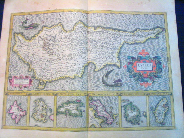
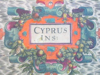
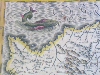
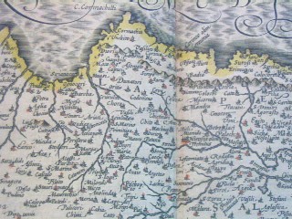
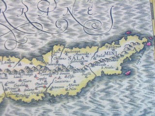
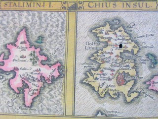
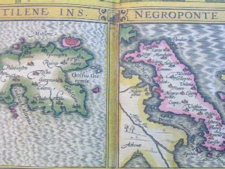
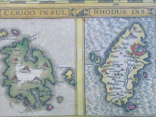
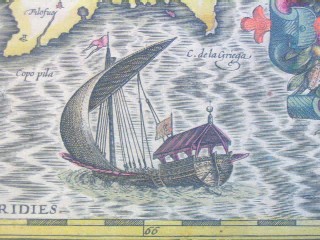
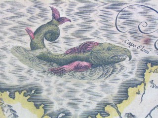
| "Cyprus Ins." Amsterdam, ca. 1636. SIZE: Sheet size: 21 x 18 inches, plate size:490 x 350 mm. PAPER TYPE: laid paper with chainlines, no watermark visible when held up to light. CONDITION: Very good map with general tanning to margins, bit of spotting to upper margin, one or two faint tan spots visible in plate, notably at the cartouche and northwest coast near fish's nose. Also small match-head-sized hole in the middle of one of the island insets (Chius), which has been expertly repaired, minor separation at bottom center fold, other than that a lovely map with wide margins, great original hand-coloring, has text in French on rear and has original center guard. NOTES: This map shows Cyprus, plus insets of six islands: Stalimini, Chius, Mitelene, Negroponte (ref. to the bridge between the Greek mainland and the island Europa), Cerigo (sometimes called Kithira), and Rhodus (Rhodes). Keywords: Greece, Aegean, Turkey This map is from one of the great Hondius/Mercator atlases of the early 17th century. Jodocus Hondius (1563-1612) bought Mercator's map plates and added many of his own and also improved on Mercator's and Ortelius's maps. After his death, he was succeeded in the business by his sons and they issued many editions of their justly celebrated atlases between 1605 and 1641 with texts in several languages. This is from a French edition. Price: CyP: 1000.00 | |
Pages 45 46 47 48 49 50 51 52 53 54 55 56 57 58 59 60 61 62 63 64 65 66 67 68 69 70