|
|
|
|
|
|
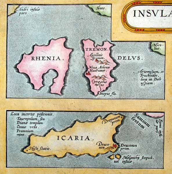
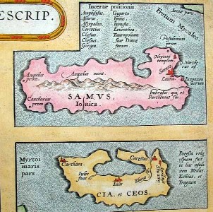
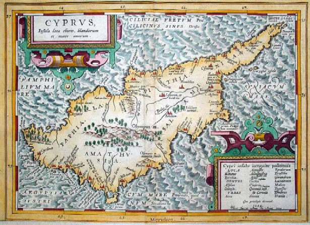
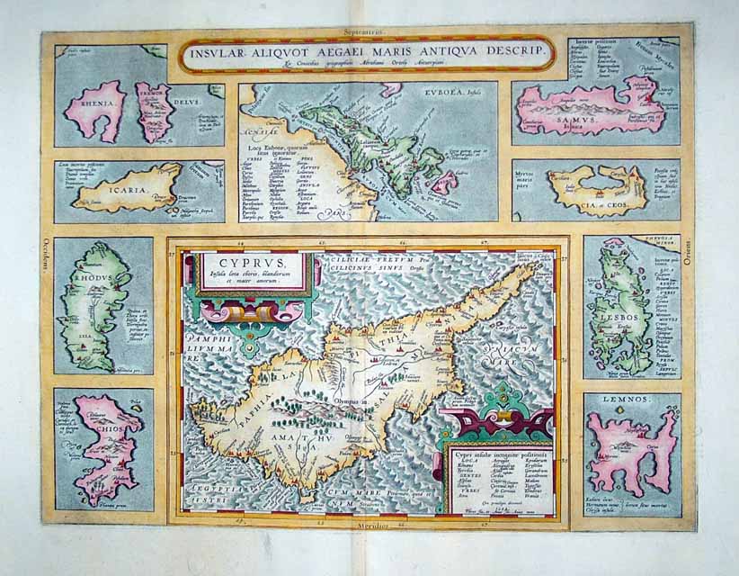
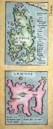
Maps. Cyprus. Page 66
|
|
||||||
|
|
|
|
||||
|
|
||||||
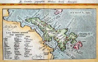
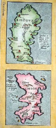
| Insular. Aliquot Aegaei Maris Antiqua Descrip. by A. Ortelius. 47 x 36 cm copperplate engraving, 56 x 45 cm sheet size, modern hand colour, Antwerp, engraved 1584, printed 1603.This is the ten part map of Cyprus and various Aegean islands from the 1603 Latin edition of the Theatrum Orbis Terrarum of Abraham Ortelius (1527-1598), the first true atlas in the modern sense. This example of "historical cartography" was presented in the Parergon section of the Theatrum, and while the cartography is drawn from a number of sources the main content is drawn from classical sources such as Pliny, Plutarch, Strabo and Thucydides. The map is in overall excellent condition , strong impression with a prominent platemark and wide margins, fine quality laid paper with watermark with margins reinforced on verso with transparent conservation paper. Price: CyP 1000.00 | ||||||
Pages 45 46 47 48 49 50 51 52 53 54 55 56 57 58 59 60 61 62 63 64 65 66 67 68 69 70