Maps. Cyprus. Page 59
|
|
|
|
|
|
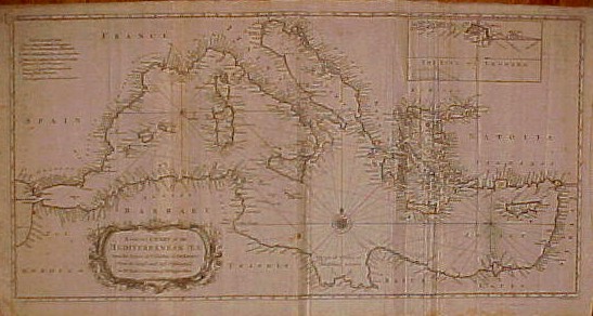
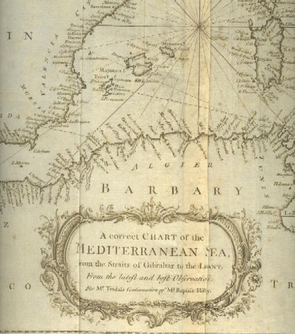
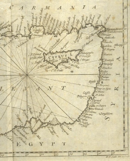
| "A correct Chart of the Mediterranean Sea, from the Straits of Gibraltar to the Levant; From the latest and best Observations: Fro Mr. Tindal's Continuation of Mr. Rapin's History." The inset map in the upper right is titled "The Road of Leghorn." It is inscribed "R.W. Seale del et sculp." The map is copperplate engraving printed in circa 1728. The sheet measures 64 x 38 cms. There are several folds that can be ironed out when framed; there is also some foxing spots but not very heavy. Price: CyP 220.00 A better copy of this map is also available. Price: CyP 280.00 , FRAMED. | |
Pages 45 46 47 48 49 50 51 52 53 54 55 56 57 58 59 60 61 62 63 64 65 66 67 68 69 70