The maps in the Cloppenburgh editions (there were only two, this first, French edition, and a subsequent Latin edition in 1632), although based on the earlier, standard editions, were fresh engravings and considerably larger than the maps in the other editions of the Atlas Minor.
Jodocus Hondius (Mercator's son-in-law,
and heir) published the first edition of the Atlas Minor in 1607,
introducing small format atlases so that 'a larger public might have
access to the use of maps' (Koeman). The Hondius plates went through
many editions and were eventually sold in 1621 to several London
publishers. In 1630 Cloppenburgh, published this French edition in a
slightly larger format with many of the copperplates engraved by Pieter
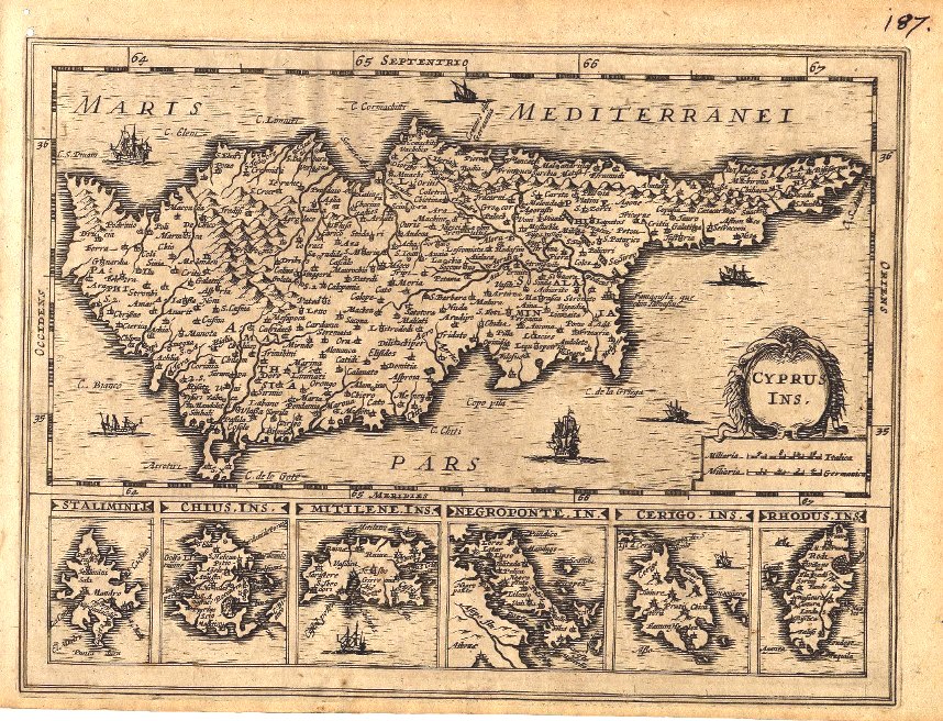
van der Keer with changes made. Note the
six sailing ships added around Cyprus and the one each around Mitilene,
Cerigo and Rhodus.
Excellent condition; (Evenly age browned; two tiny pinholes in the upper
left margin do not detract.) A fine and very scarce map, unknown to
Zacharakis, Stylianou and the BoC.
Price: CyP 650.00