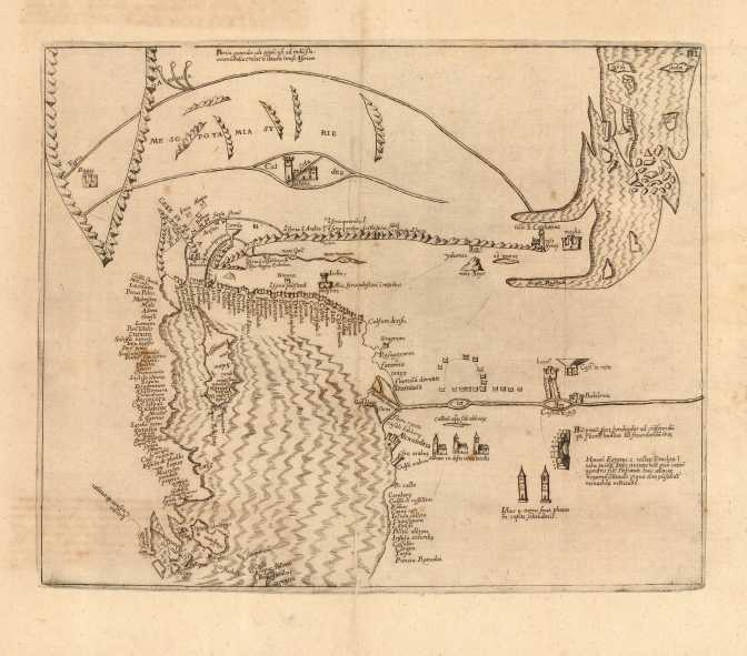
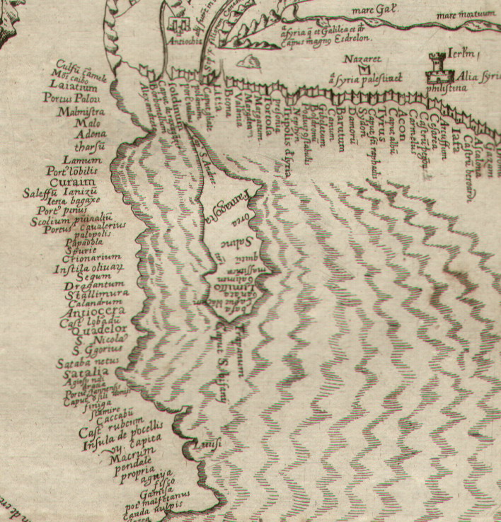
Marino Sanudo was a Venetian statesman and geographer in the 14th century. He is best known for his life-long attempts to revive the Crusades. His great work the Secreta (or Liber Secretorum Fidelium Crucis) was written in manuscript and presented to popes and kings in an attempt to persuade them to launch another series of crusades. Through its accompanying maps and plans, which were the work of the great sea-chart maker Petrus Vesconte, it occupies an important place in the development of cartography. The Secreta was only printed once and published with Bongars Gesta Dei per Francos, by Wechelius in 1611.
Ref: Mickwitz & Miekkavaara (Nordenskiold III) #346-II-3.
An extremely rare map, unknown to Mssrs Stylianou, Zaharakis, BoC. and S. Ioannou.
Price: CyP 1,800.00